


Fifty-Eight Years of Change: Apollo's 'Earthrise' to Artemis's 'Earthset' Reveals Planetary Transformation
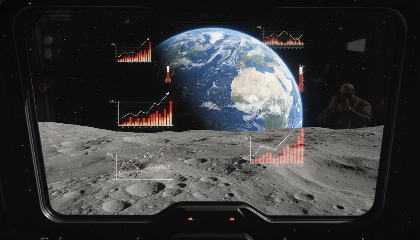
A significant temporal gap of 58 years now separates two pivotal photographic records of Earth from lunar orbit, offering a stark visual testament to global environmental shifts. The iconic "Earthrise" image, captured in 1968 by the Apollo 8 crew, particularly astronaut Bill Anders, presented humanity with an unprecedented perspective of our planet. This initial view, described by Commander Frank Borman as a solitary vibrant entity against a desolate lunar backdrop, profoundly influenced global consciousness regarding Earth's unique and fragile existence.

The initial capture of "Earthrise" was serendipitous, a moment unplanned by NASA, yet its profound impact was immediate and far-reaching. It became a catalyst for the burgeoning environmental movement, directly contributing to the establishment of Earth Day in 1970. In stark contrast, the recent "Earthset" image, acquired on April 6, 2026, during the Artemis II crew's seven-hour lunar flyby, was a deliberate objective.
This intentional capture underscores a contemporary awareness of the planet's evolving state and the necessity for updated visual documentation. The "Earthset" photograph, taken through the Orion spacecraft window at 18:41 Eastern Daylight Time, details the Earth’s sunlit side over the Oceania region, revealing white clouds and blue water, alongside the dark expanse of nighttime areas. The image also provides intricate views of the Moon's cratered surface.

TradExcel - Professional Trading Journal
TradExcel is a professional trading journal built to help traders log, analyze, and revisit every trade. By tracking performance, strategies, and discipline, TradExcel empowers tra...

Ultrazn - Powerful Cloud Hosting for Your Digital Success
Ultrazn offers a complete digital solution with reliable domain registration, high-performance cloud hosting, secure business email, and scalable infrastructure. Designed for speed...

OctaSend - Professional Email Marketing Platform
OctaSend is a professional email marketing platform that helps businesses create, send, and track powerful campaigns with ease. Featuring smart automation, advanced analytics, and...
While modern satellite arrays continuously collect vast quantities of environmental data across the electromagnetic spectrum, the human element in capturing "Earthset" imbues it with a unique emotional resonance and framed perspective, distinguishing it from automated data streams. Scientific analysis comparing these two images, despite differing geographical focuses and cloud cover, reveals quantifiable environmental degradation over the intervening 58 years. Experts highlight a approximately one-third increase in atmospheric carbon dioxide levels and a rapid global temperature rise of at least 1°C since the "Earthrise" era.
Visible alterations to Earth's land texture include expanding urban centers, deforestation replaced by agricultural zones, and the dramatic desiccation of the Aral Sea, now less than 10% of its 1960s volume. The cryosphere exhibits particularly alarming changes. The Antarctic Peninsula, identified as one of Earth's most rapidly warming regions, has witnessed the collapse of 28,000 square kilometers of ice shelf between the two photographic periods.
Furthermore, both hemispheres show a significant decrease in seasonal sea ice cover, and regions across North America, Eurasia, and Asia experience later seasonal snow accumulation and earlier melting. Scientific consensus attributes 90-95% of these observed changes to anthropogenic activities. This updated visual record from Artemis II, when contextualized with the Apollo 8 legacy, reinforces the ongoing urgency of planetary stewardship.
Even in 1968, prior to "Earthrise," significant environmental damage was evident, with cities grappling with severe smog and polluted waterways. The "Earthrise" image served as a powerful inspiration, mobilizing a generation towards environmental action. The enduring message, as articulated by Frank Borman, remains pertinent: the profound significance of our home planet often becomes most apparent from the distant vantage point of space, compelling a renewed focus on its preservation for future generations.
TradExcel - Professional Trading Journal
TradExcel is a professional trading journal built to help traders log, analyze, and revisit every trade. By tracking performance, strategies, and discipline, TradExcel empowers tra...
Ultrazn - Powerful Cloud Hosting for Your Digital Success
Ultrazn offers a complete digital solution with reliable domain registration, high-performance cloud hosting, secure business email, and scalable infrastructure. Designed for speed...
OctaSend - Professional Email Marketing Platform
OctaSend is a professional email marketing platform that helps businesses create, send, and track powerful campaigns with ease. Featuring smart automation, advanced analytics, and...
Comments (0)
Leave a Comment
No comments yet. Be the first to comment!
Related Posts



OctaSend - Professional Email Marketing Platform
OctaSend is a professional email marketing platform that helps businesses create, send, and track powerful campaigns with ease. Featuring smart automation, advanced analytics, and...
Ultrazn - Powerful Cloud Hosting for Your Digital Success
Ultrazn offers a complete digital solution with reliable domain registration, high-performance cloud hosting, secure business email, and scalable infrastructure. Designed for speed...
TradExcel - Professional Trading Journal
TradExcel is a professional trading journal built to help traders log, analyze, and revisit every trade. By tracking performance, strategies, and discipline, TradExcel empowers tra...